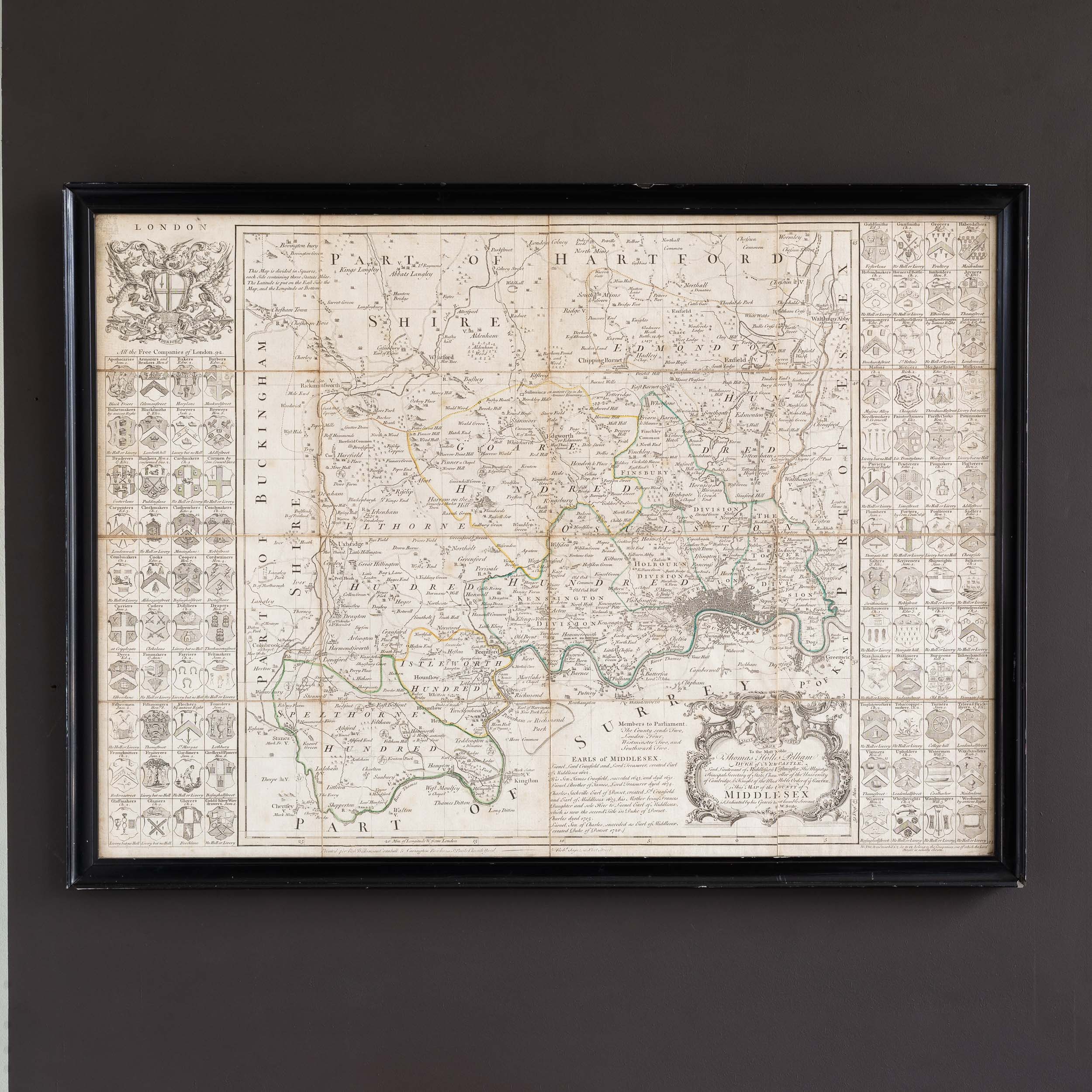
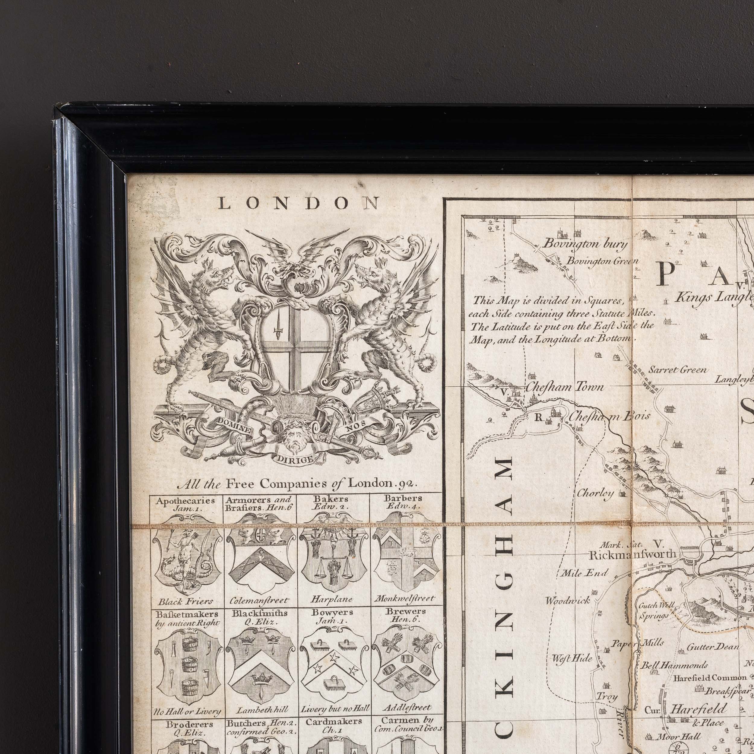
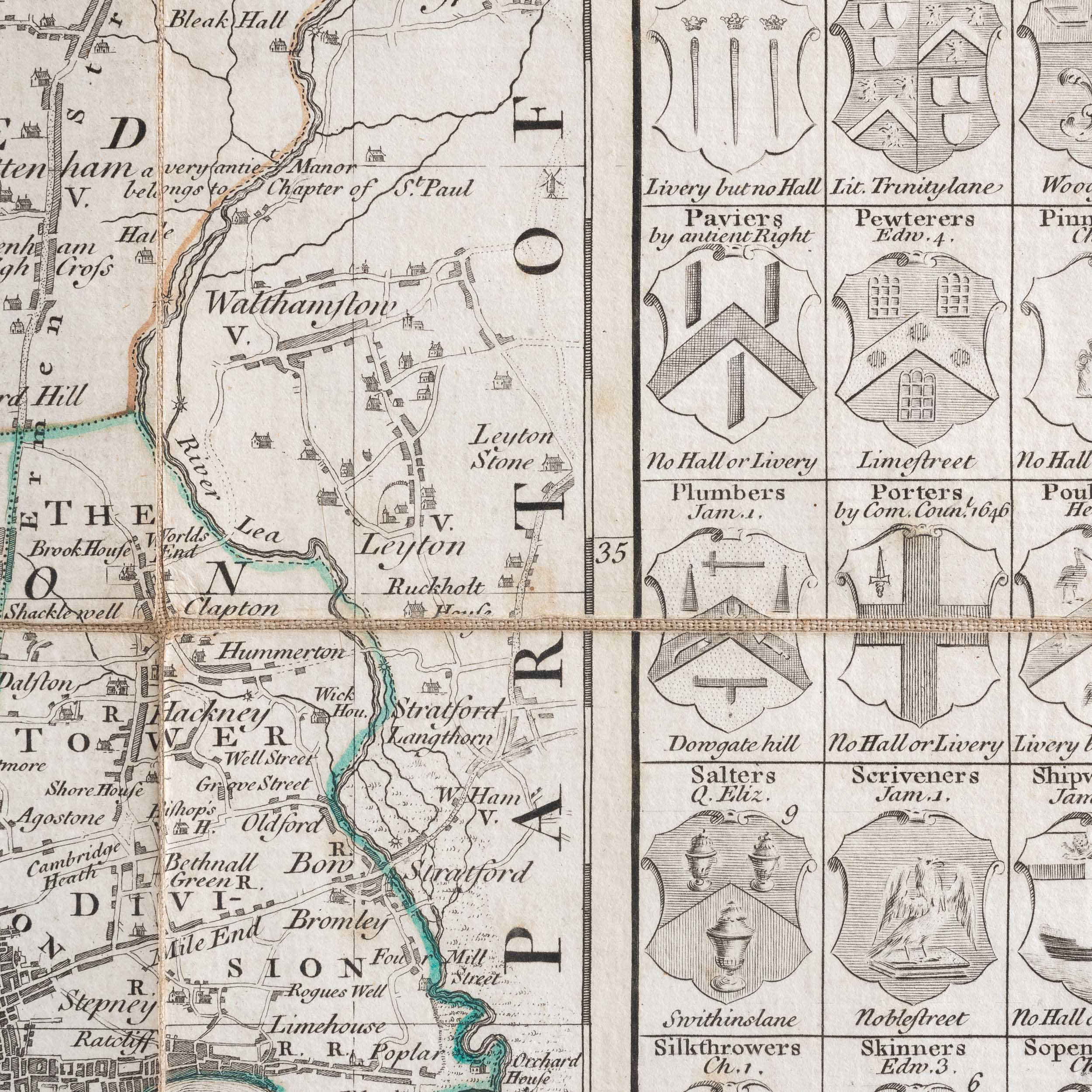
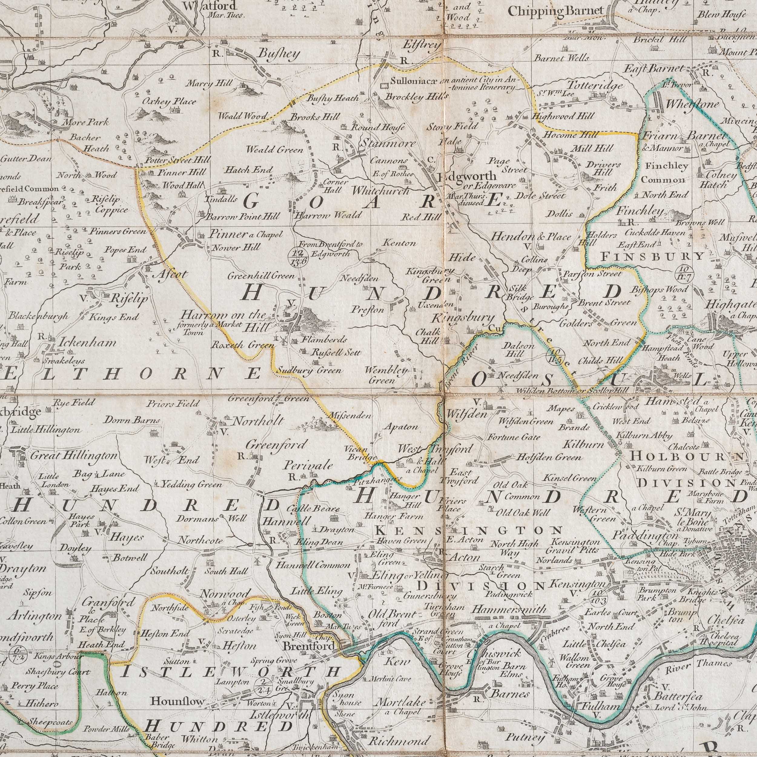
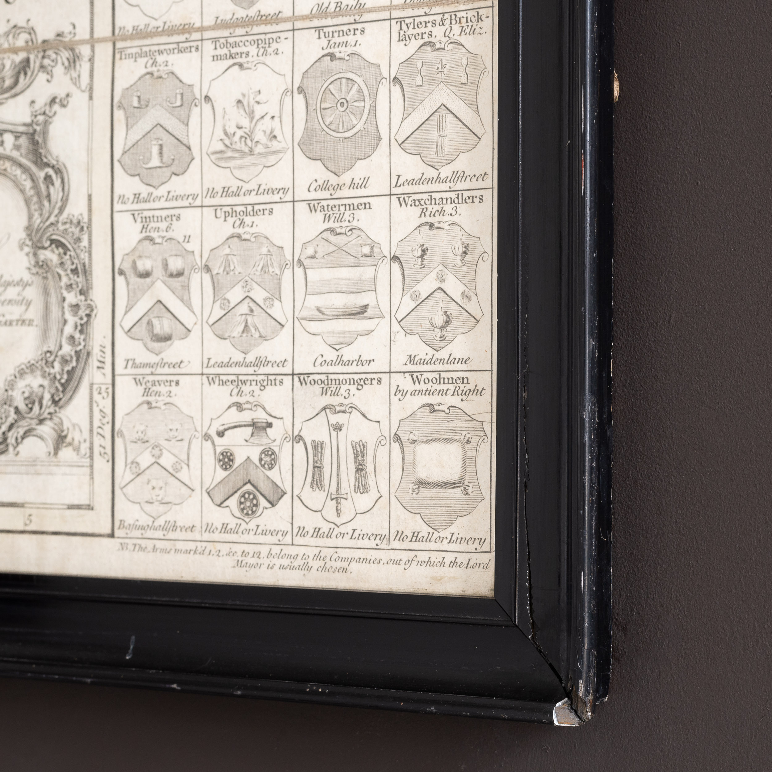
Middlesex by R.W. Seale, c1760
Large 18th century map of Middlesex, divided into administrative divisions and showing the 92 Livery Companies of the City of London.
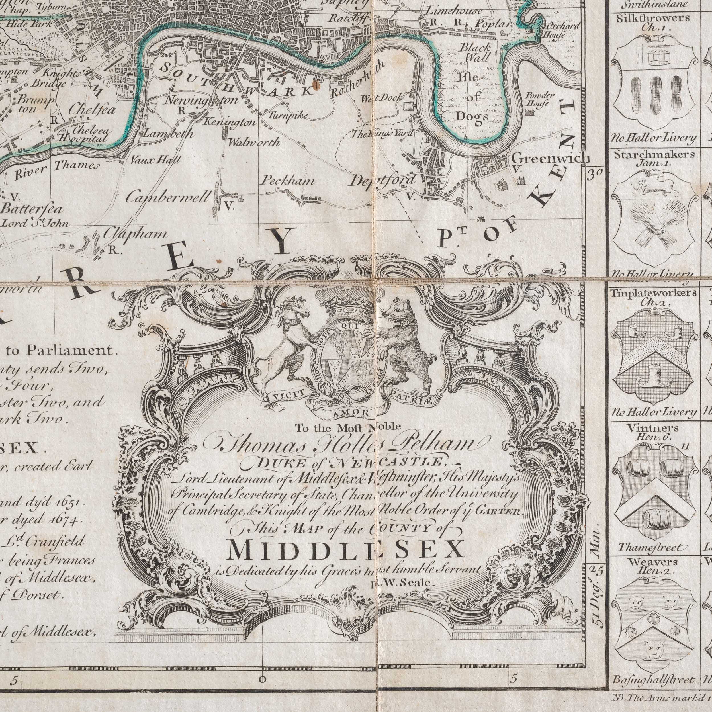
Title: 'To the Most Noble / Thomas Holles Pelham / Duke of NEWCASTLE. / Lord Lieutenant of Middlesex & Westminster, His Majesty's / Principal Secretary of State, Chancellor of the University / of Cambridge, & Knight of the Most Noble Order of y e GARTER. / This MAP of the COUNTY of MIDDLESEX / is Dedicated by his grace's most humble Servant / R.W. Seale.
£950
In stock
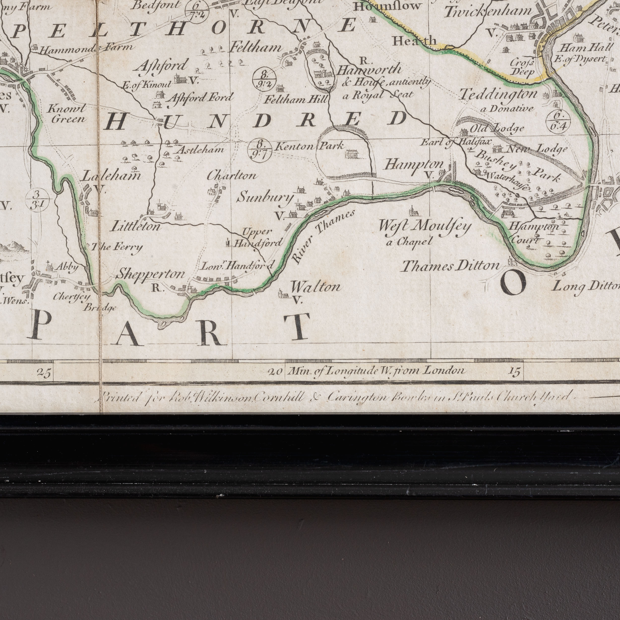
Published by J. Bowles, London, c1760. Dissected map, framed in black up to the platemark.

