Archived Stock - This item is no longer available
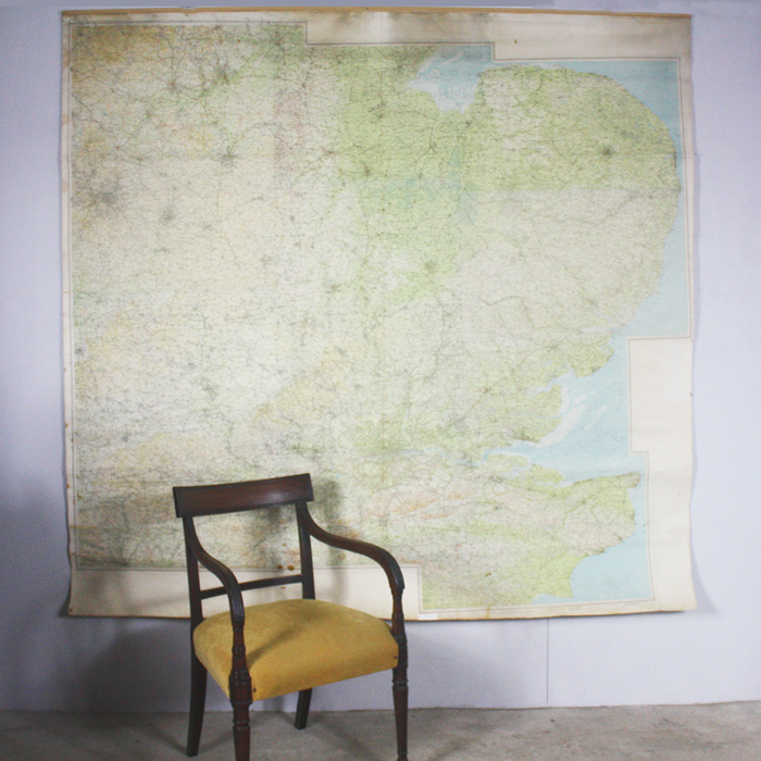
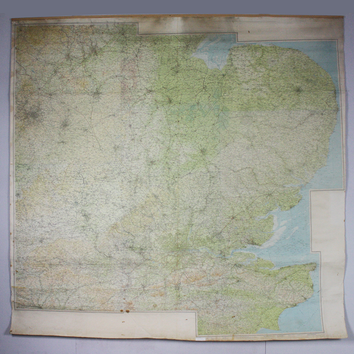
A large wall-map of South East England,
issued by Ordnance Survey 1965, scale Half Inch to the Mile (1:126,720), to a design held by John Bartholamew & Son Ltd., of Edinburgh
printed on stiffened linen, hung on a batten,
SOLD OUT
Out of stock
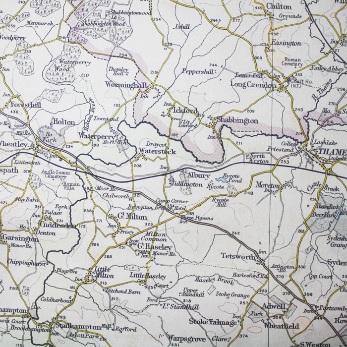
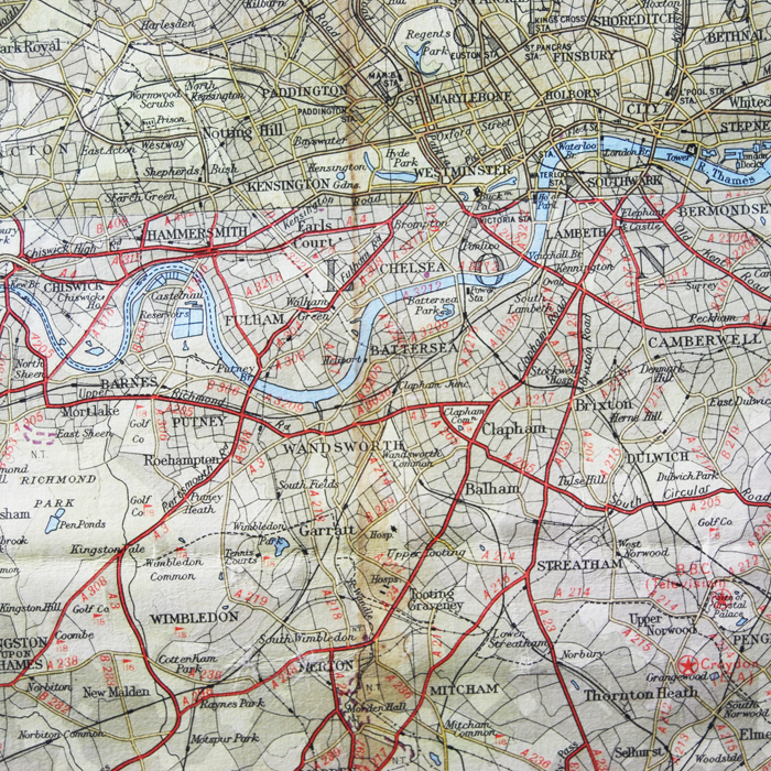
This sizable map covers a large tract of Great Britain. As far North as Mansfield and Newark it takes in all of East Anglia and the East Midlands, London and the Home Counties, Kent and West along the south coast as far as Rye and West along the Thames valley as far as Cheltenham. The M1 can be seen as far North as Nottingham, the M2 is also in evidence - but no other motorways. On this scale, the detail is very satisfying - even The Three Pigeons is named.
Condition - a bit battered, foxing, staining and some screw holes.


