No products in the basket.
Archived Stock - This item is no longer available
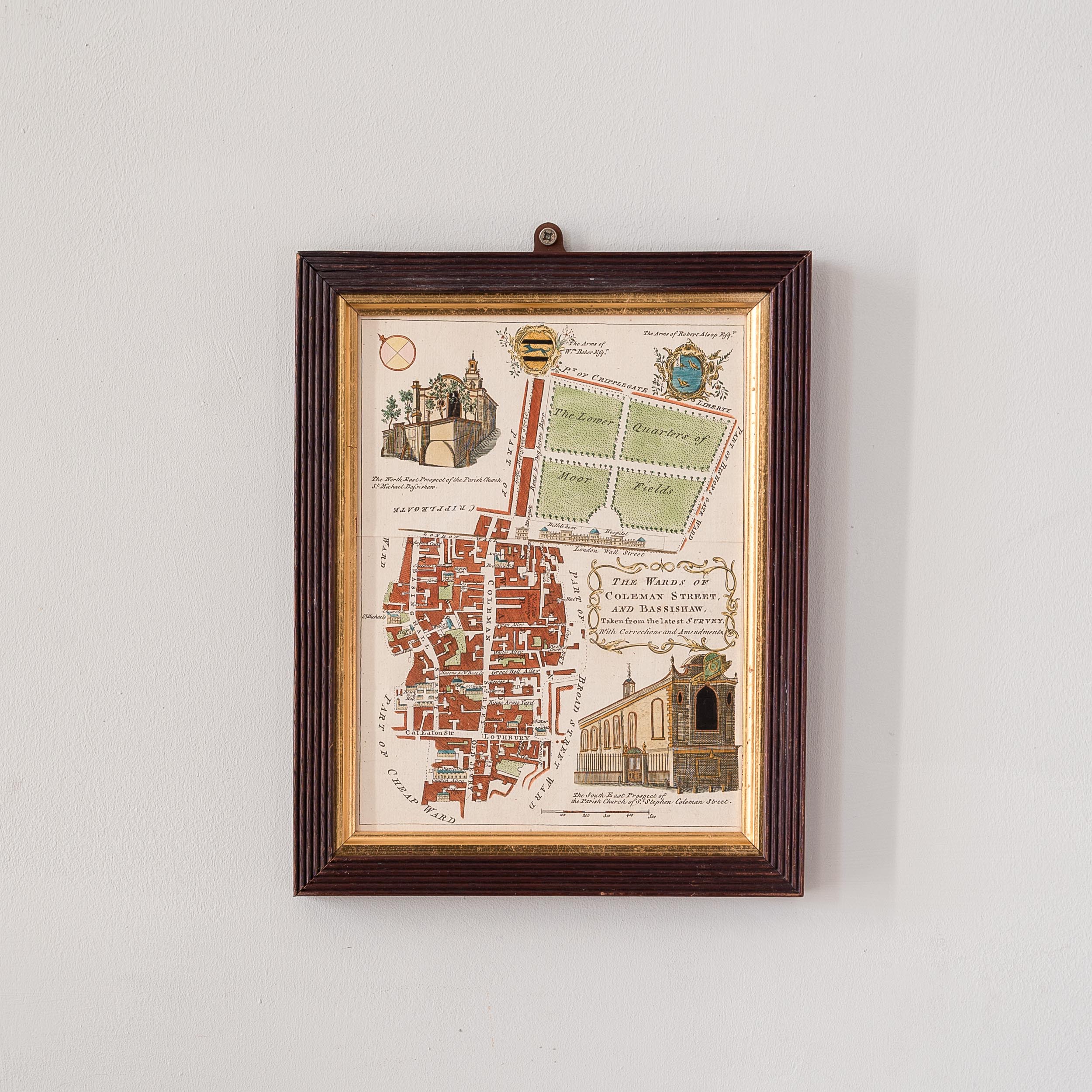
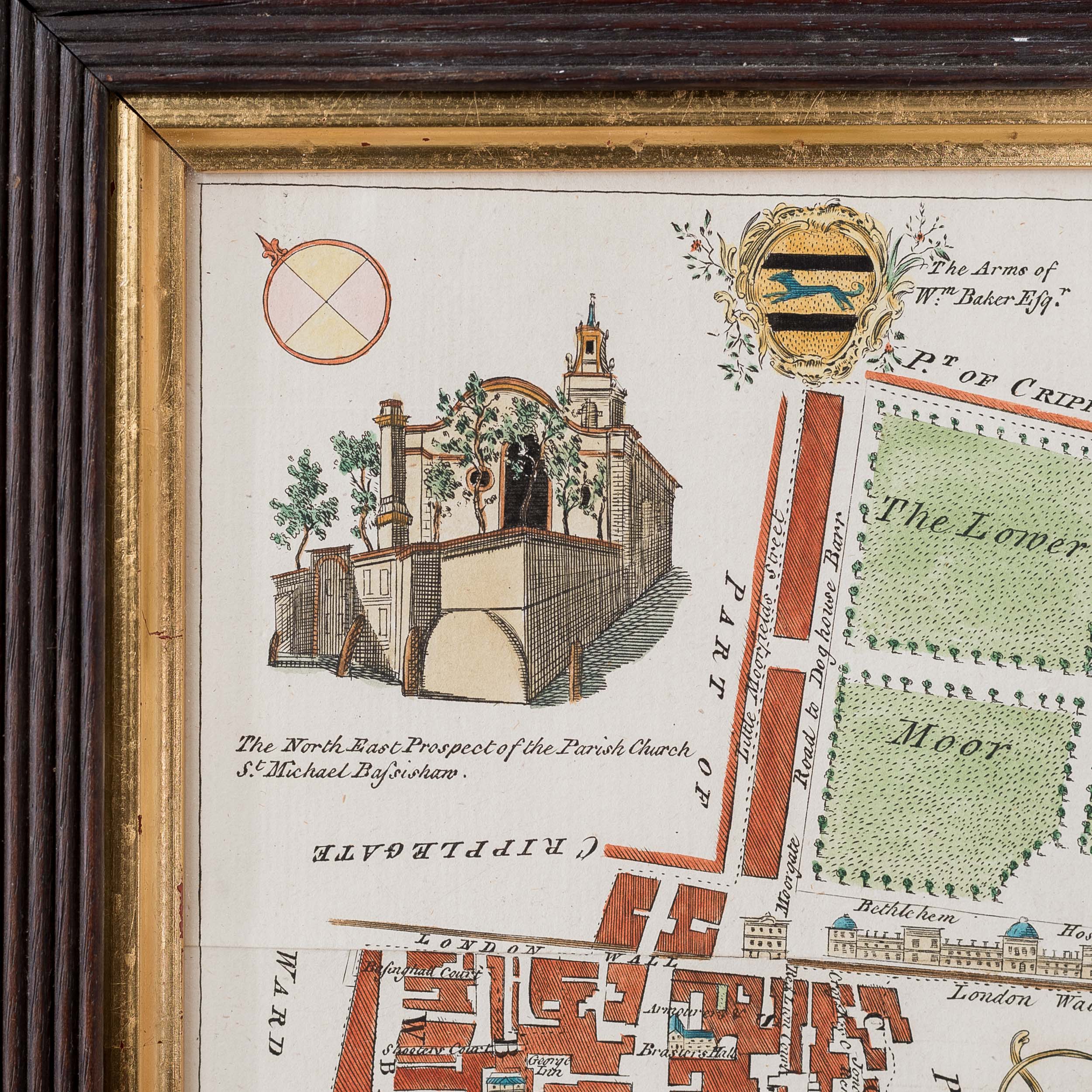
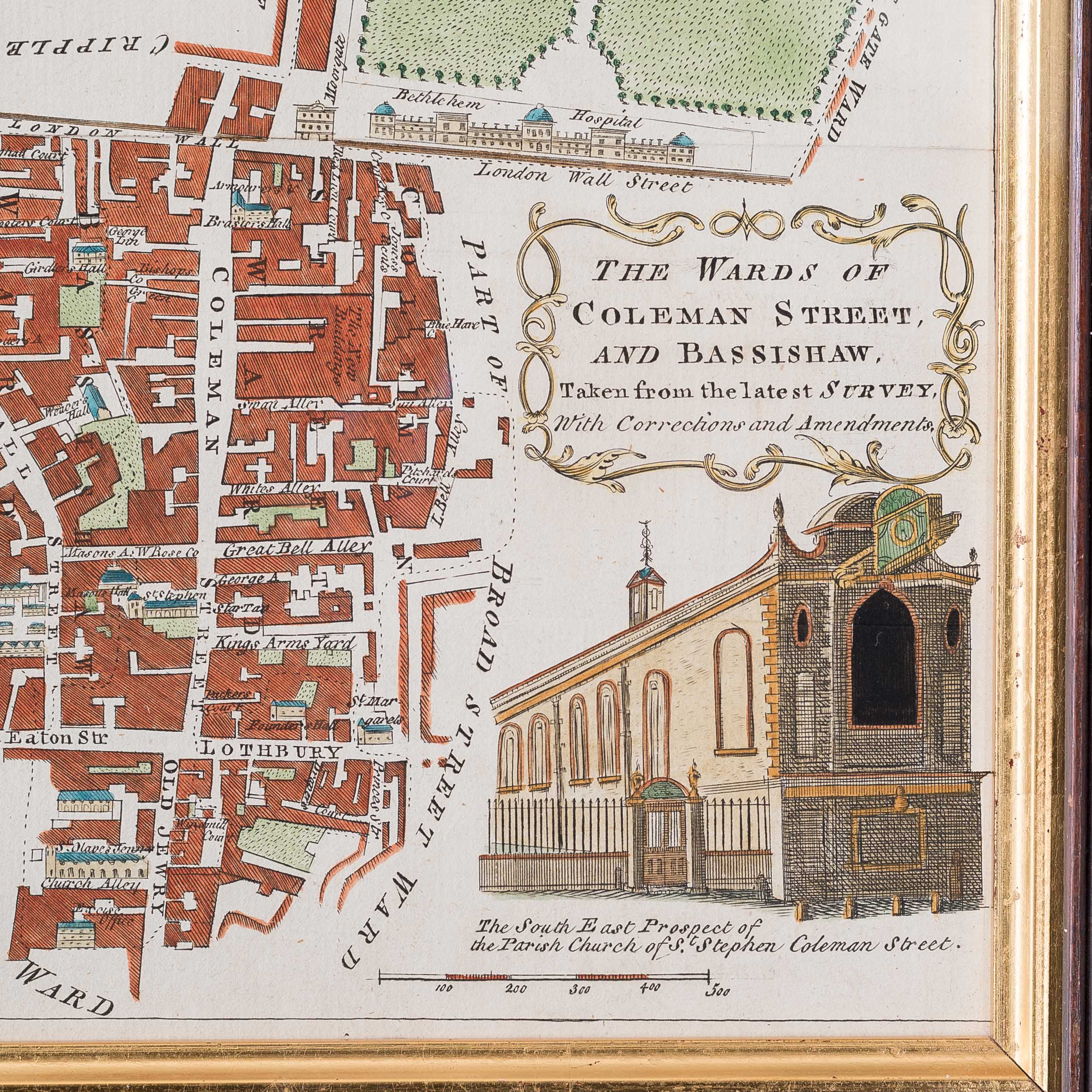
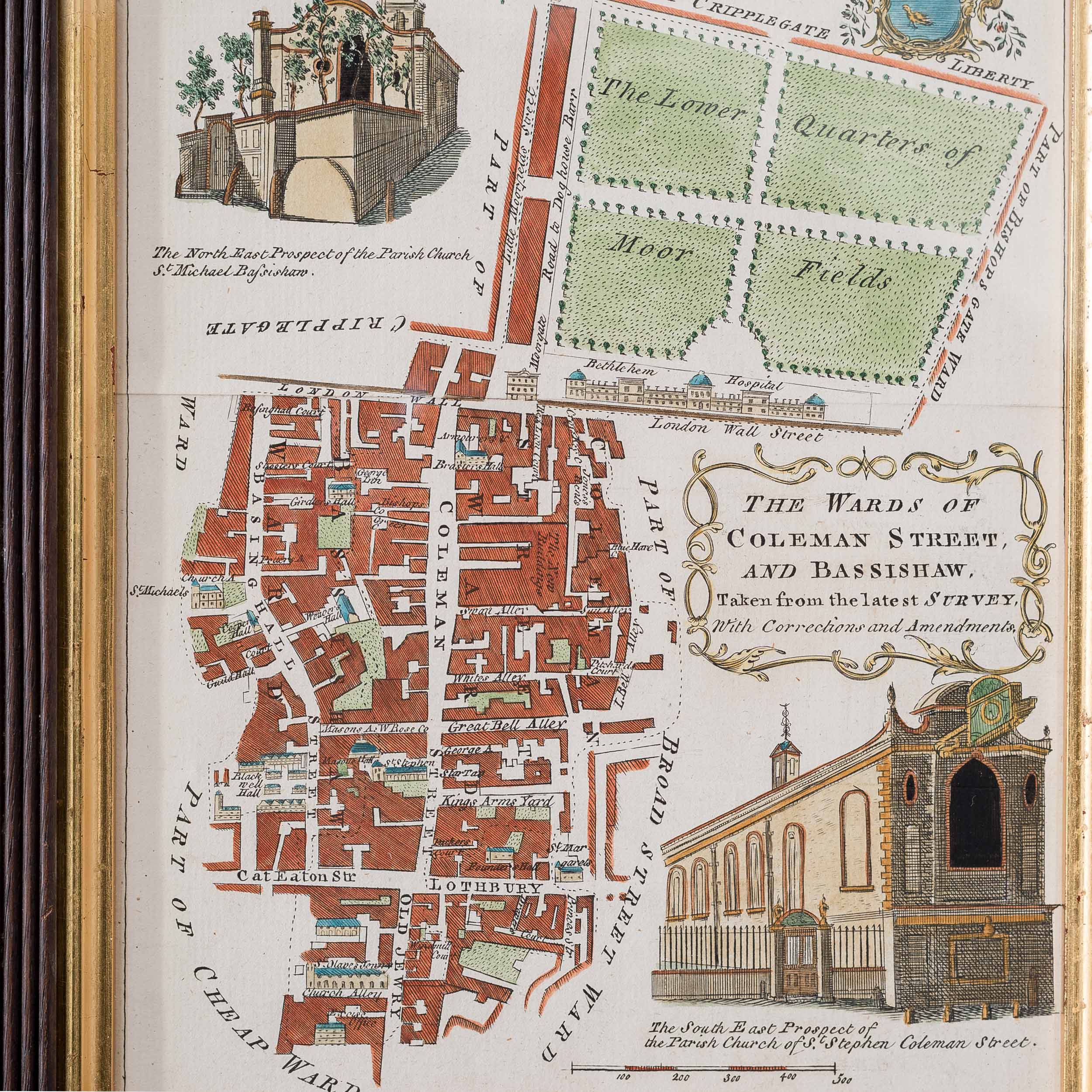
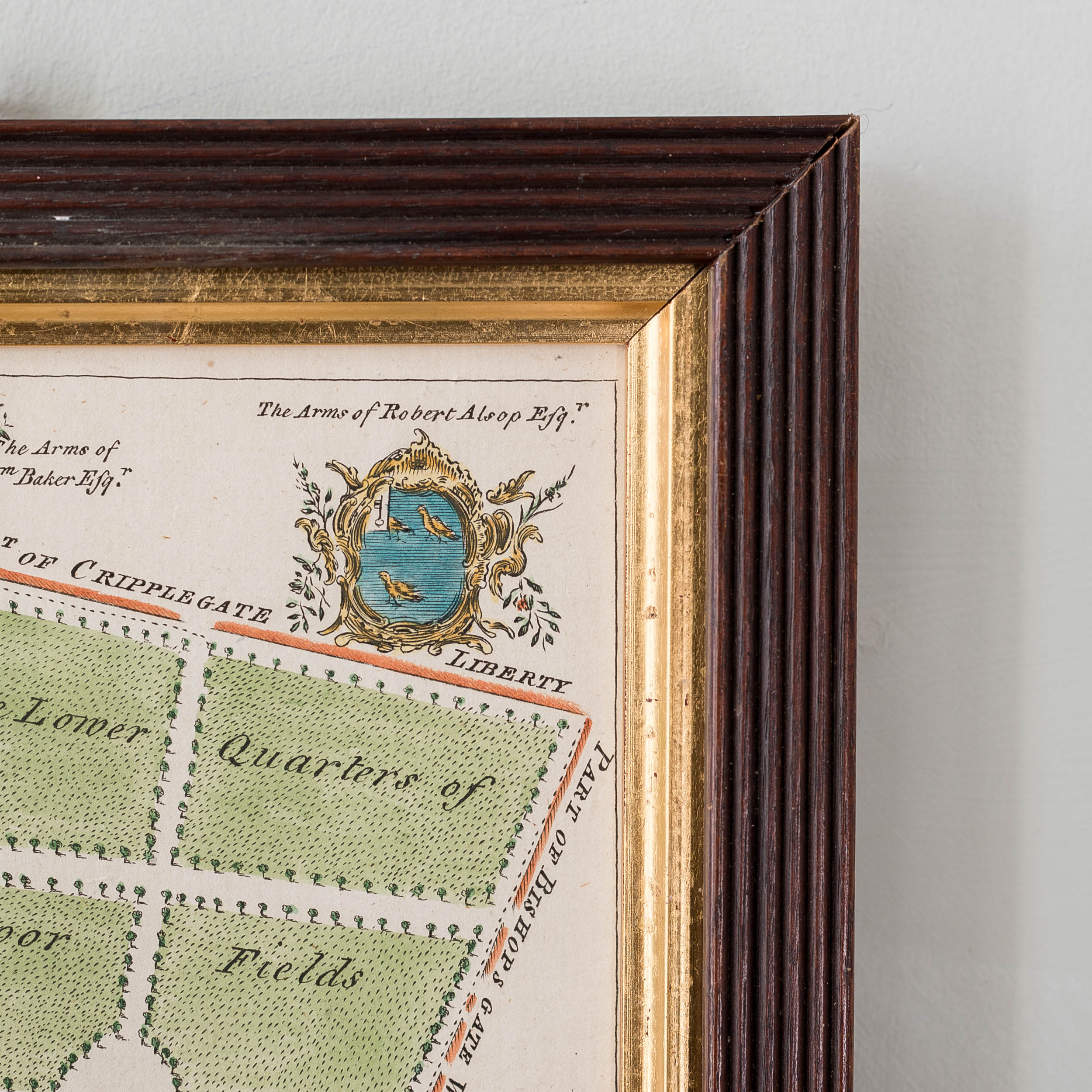
The Wards of Coleman Street and Bassishaw
18th century map
Published for "A New History of London, Including Westminster and Southwark, to which is added, A General Survey of the Whole; Describing The Public Buildings, Late Improvements, &c. Illustrated With Copper-Plates." by John Noorthouck. London. With hand-colour. Framed
SOLD OUT
Out of stock
The map shows the area around Moorgate in the City of London. The old London Wall runs across the map, with Moorgate in the centre. Coleman Street runs south to Lothbury and Old Jewry. Moorfields is marked at the top of the map.

