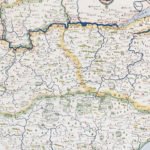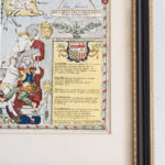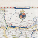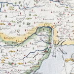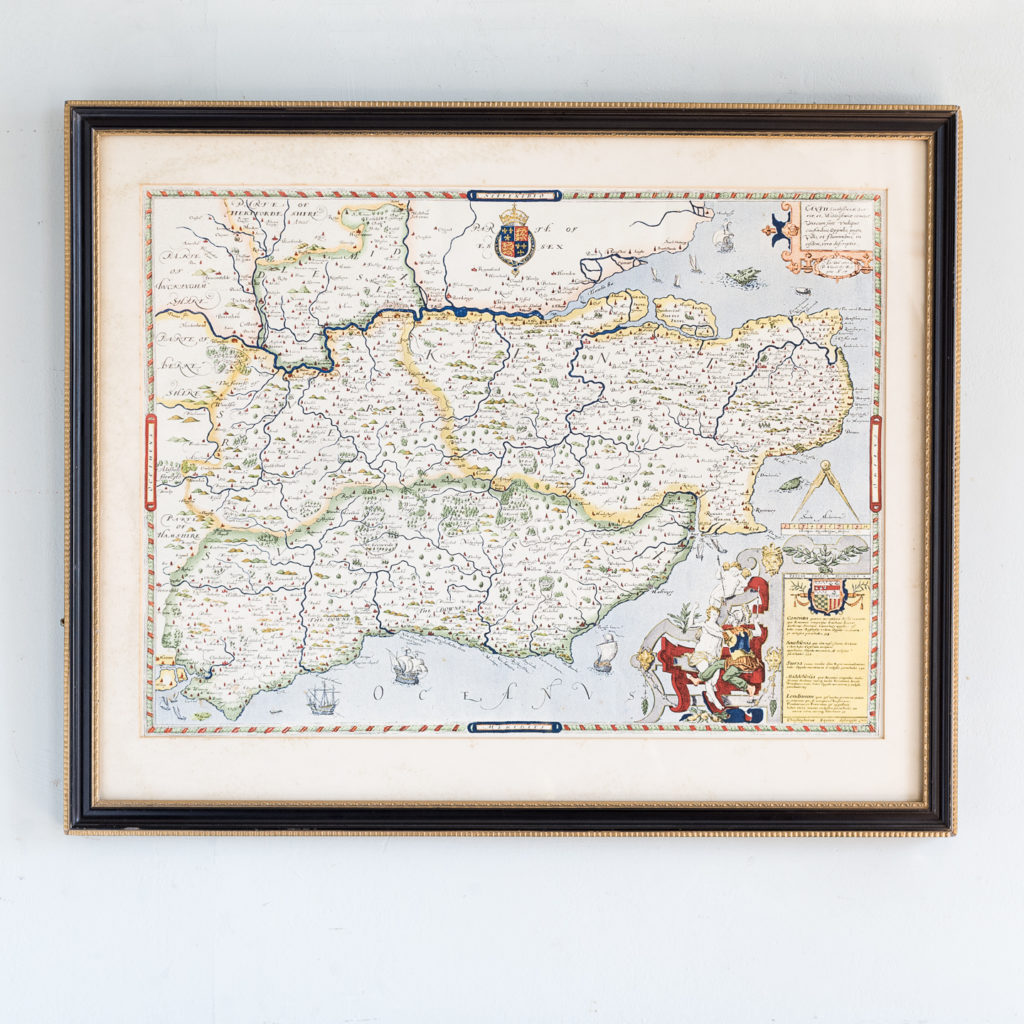
Map of Kent, Sussex, Surrey and Middlesex
Reproduction of the 1579 Chistopher Saxton map
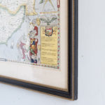
Published c1965, this map shows the counties of Kent, Sussex, Surrey and Middlesex in the late 16th century. Framed in Hogarth moulding.
Dimensions: 54.5cm (21½") High, 66.5cm (26¼") Wide, 2cm (0¾") Deep
Price: £180
Stock Code: P01096