No products in the basket.
Click and Collect – Please contact us to arrange collection or delivery of this item
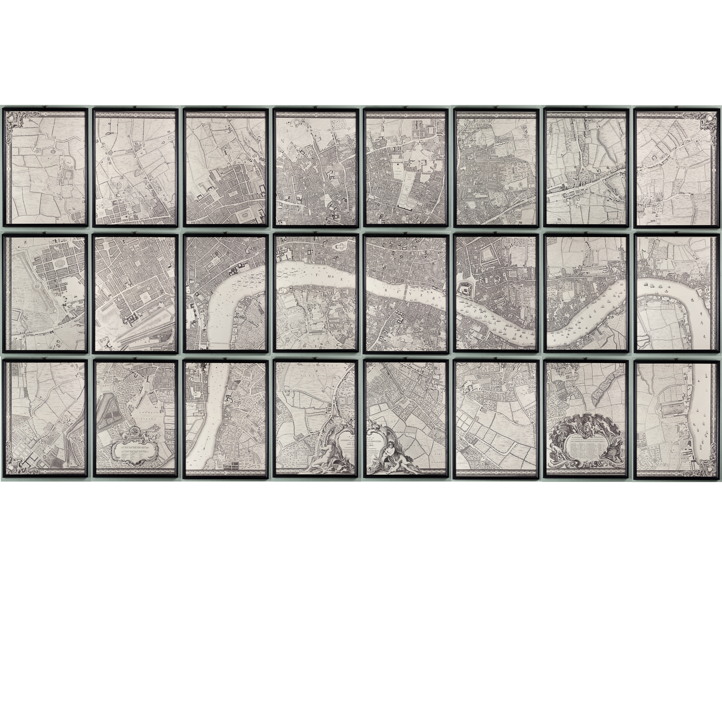
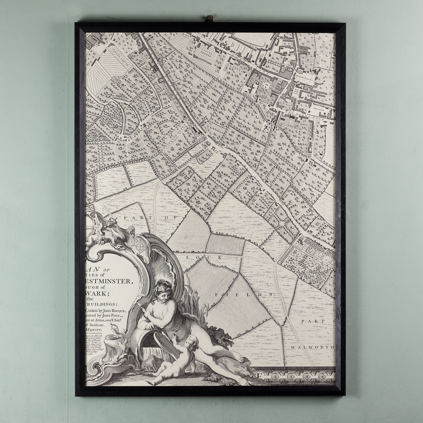
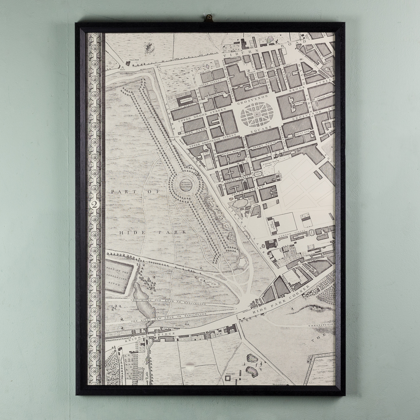
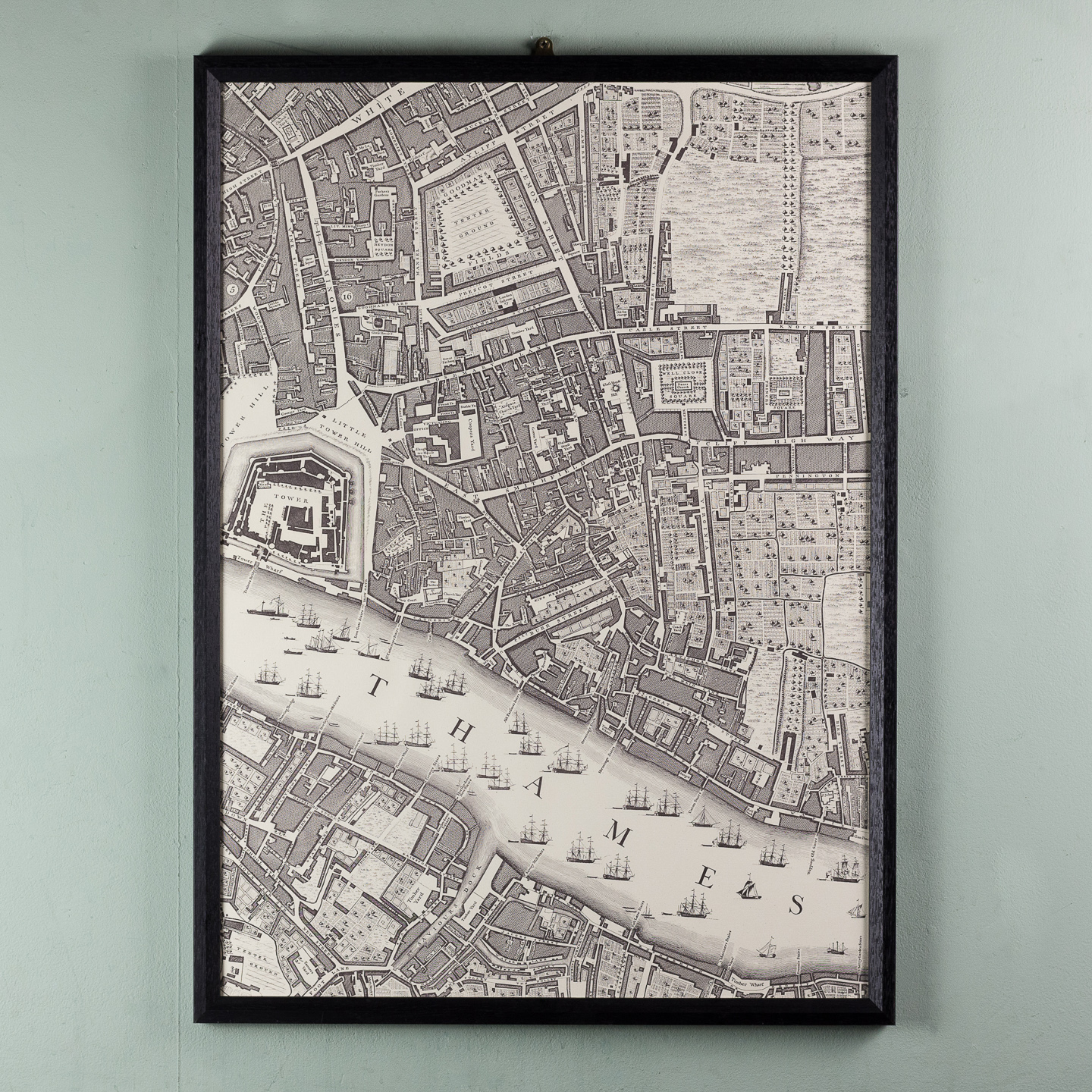
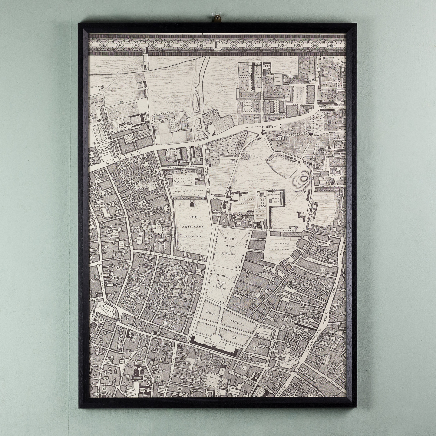
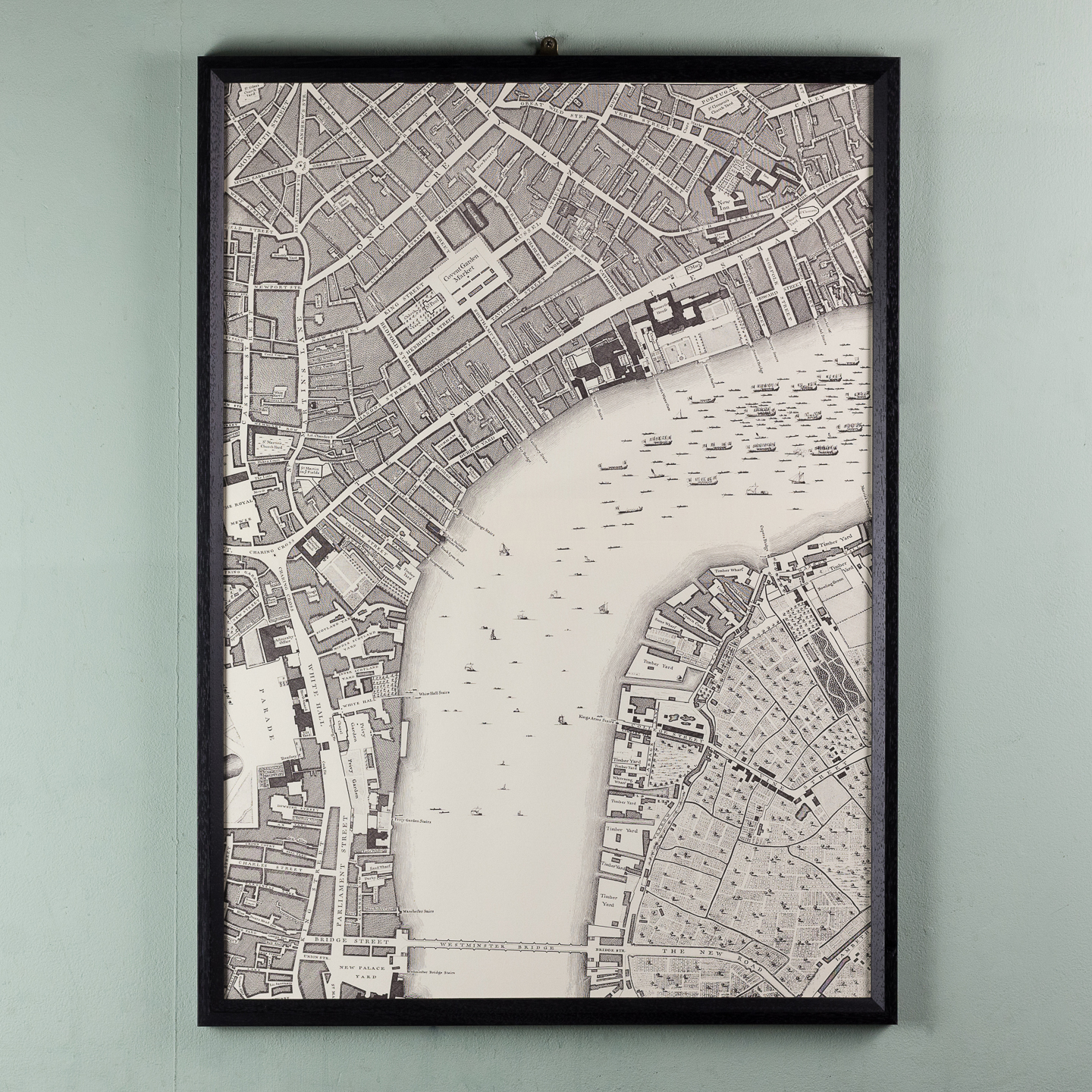
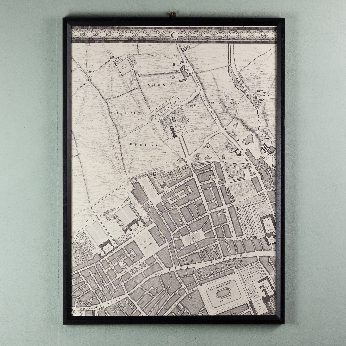
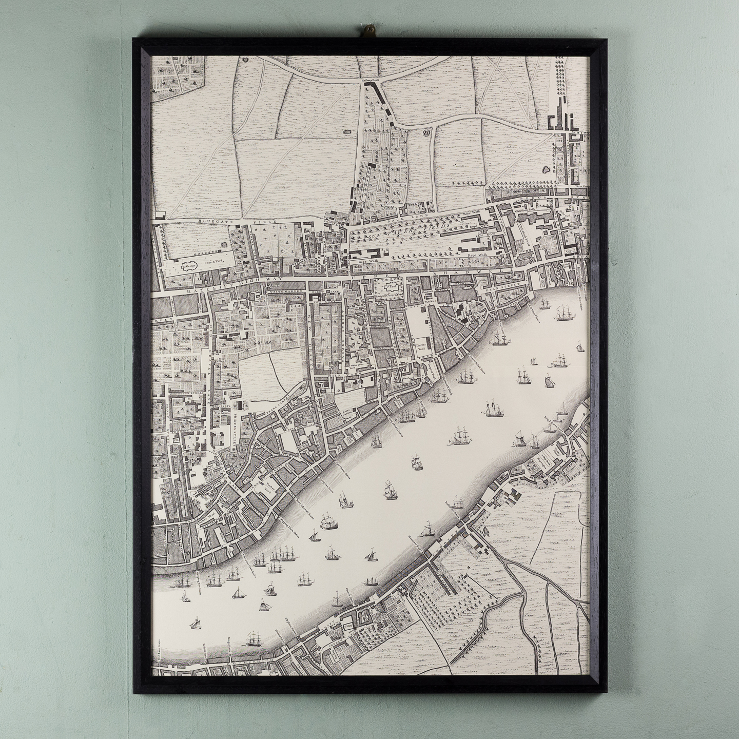
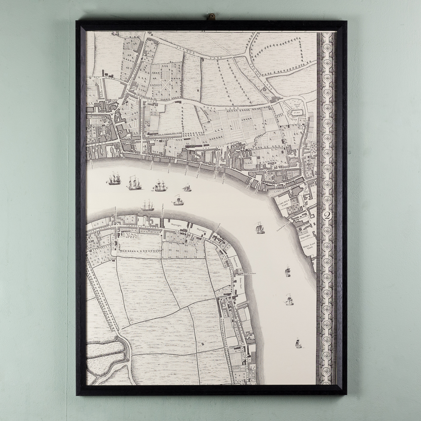
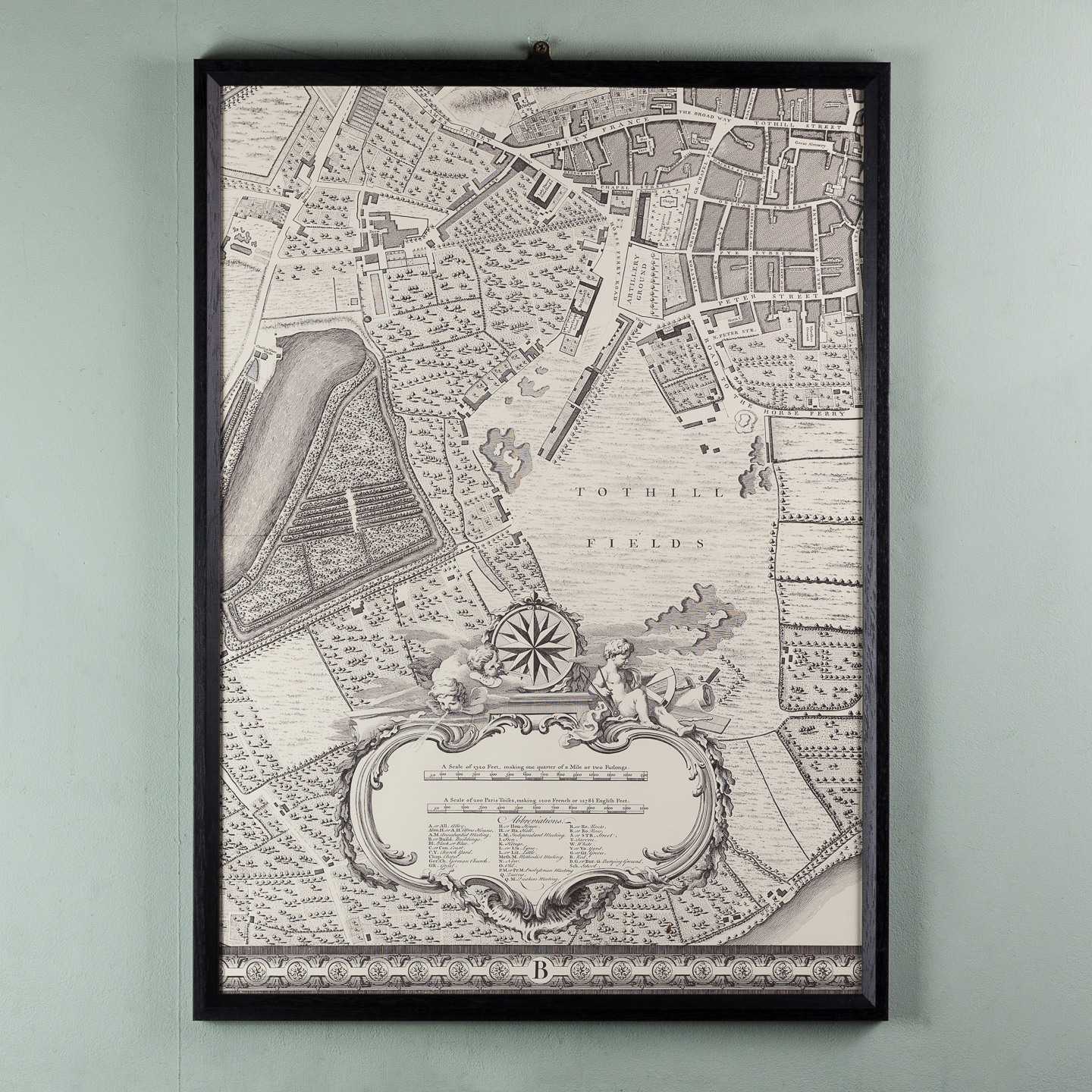
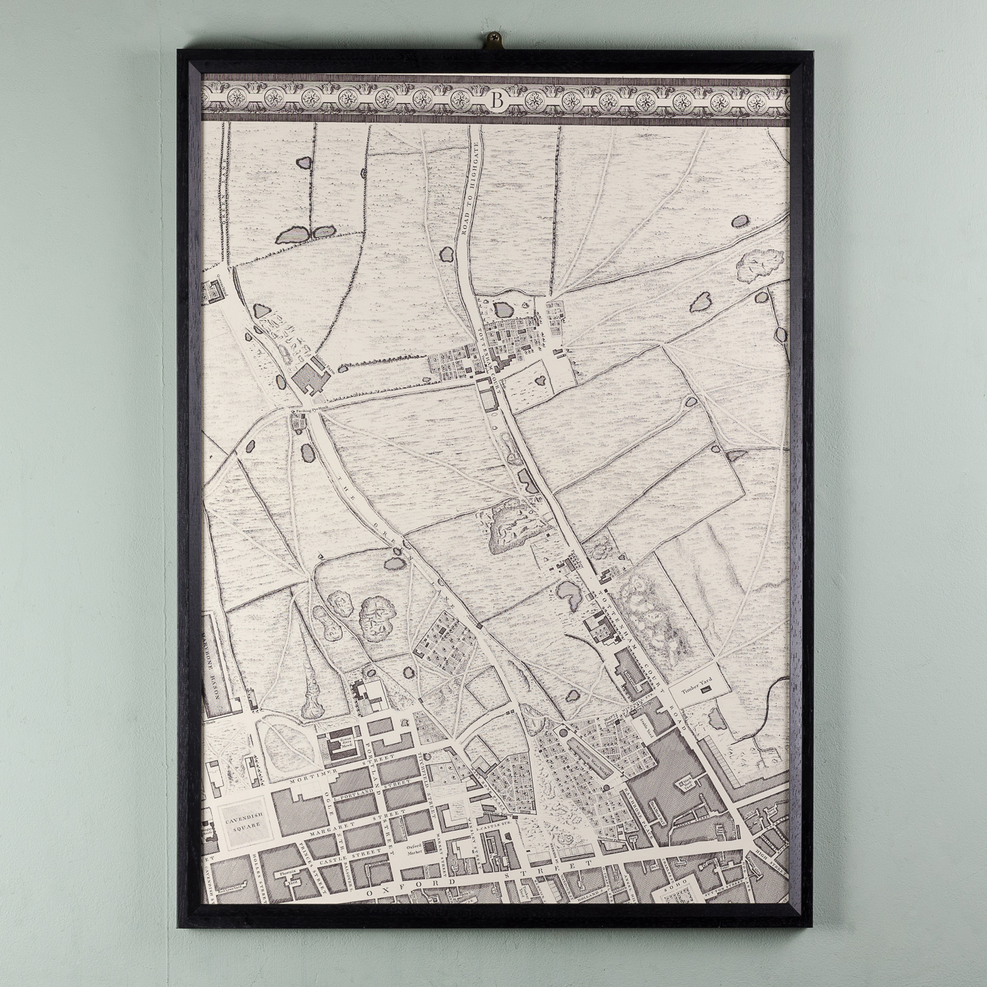
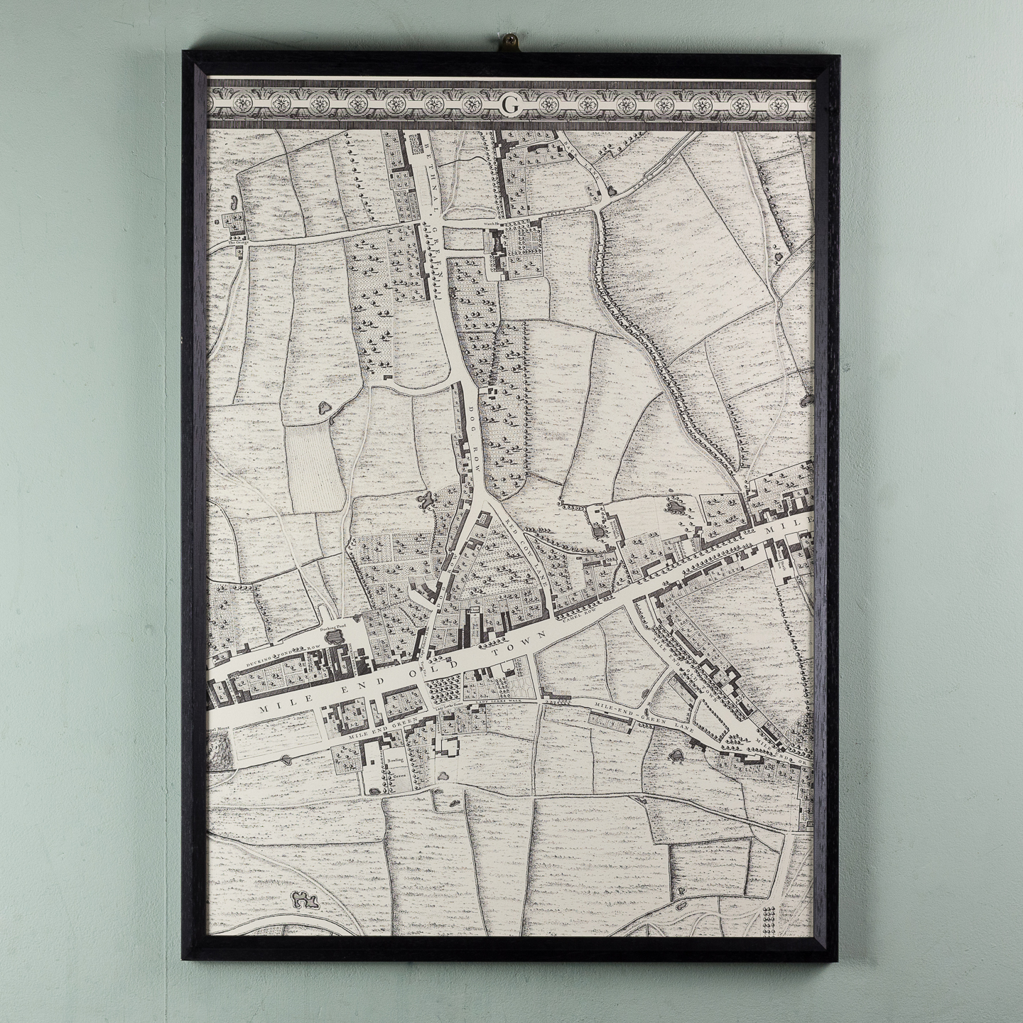
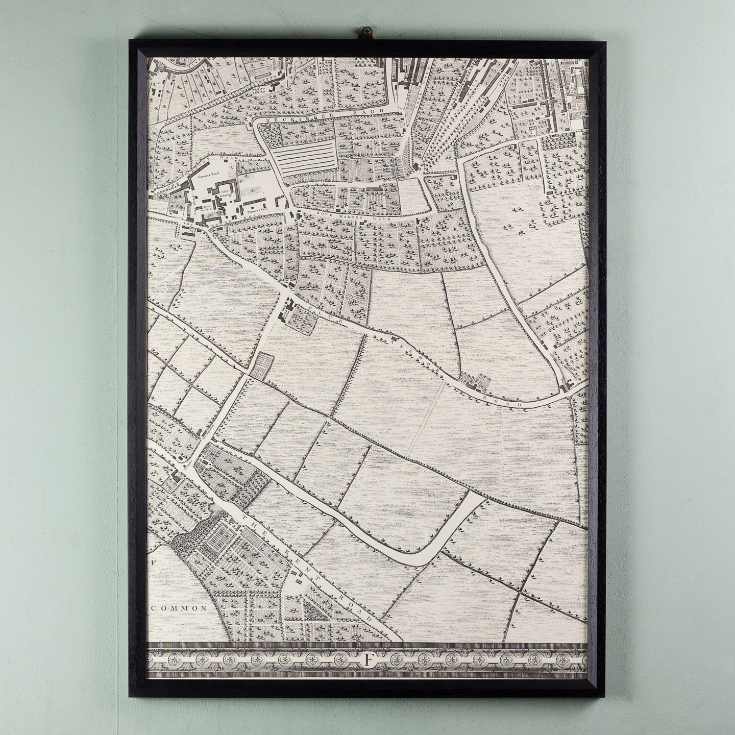
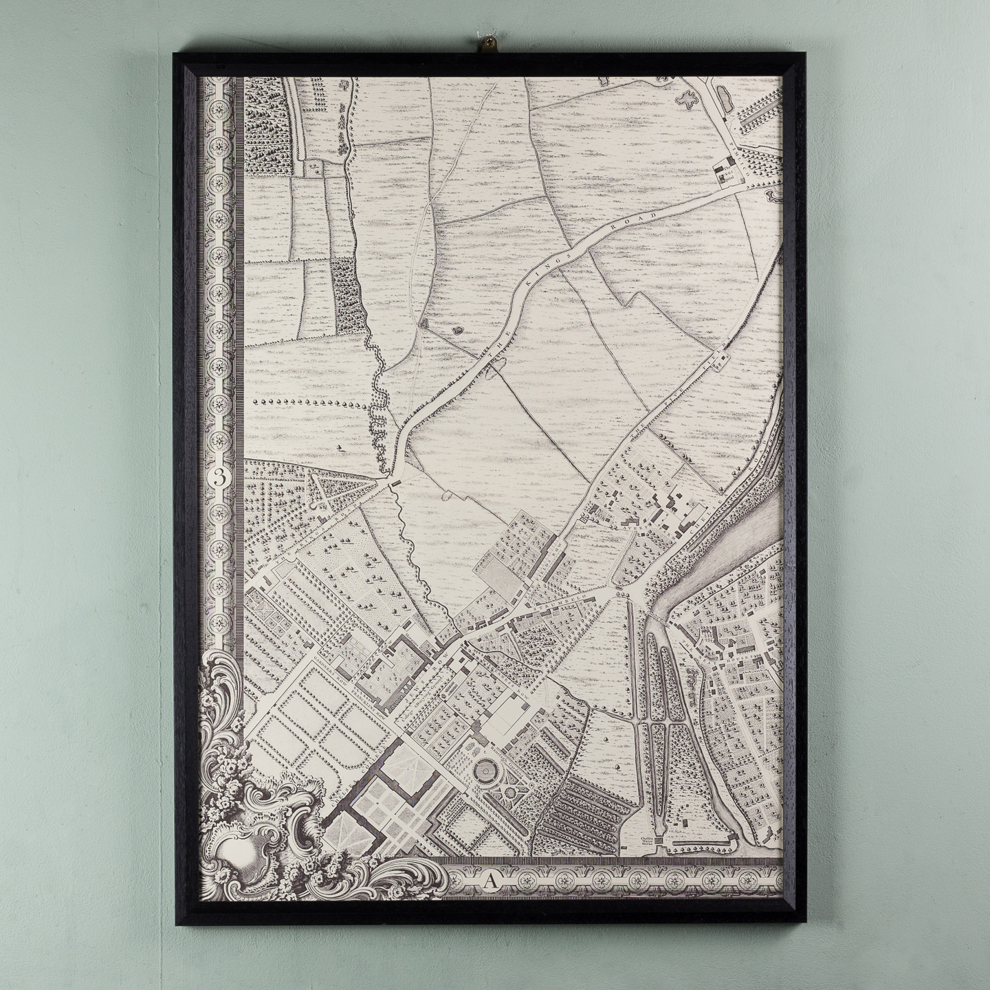
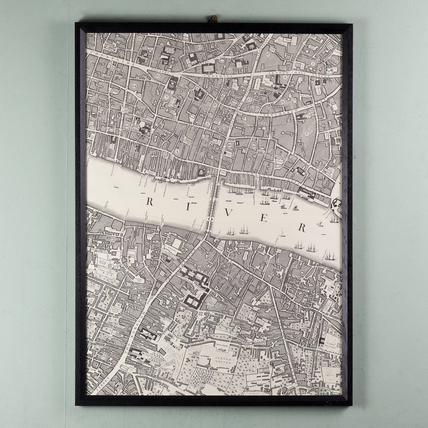
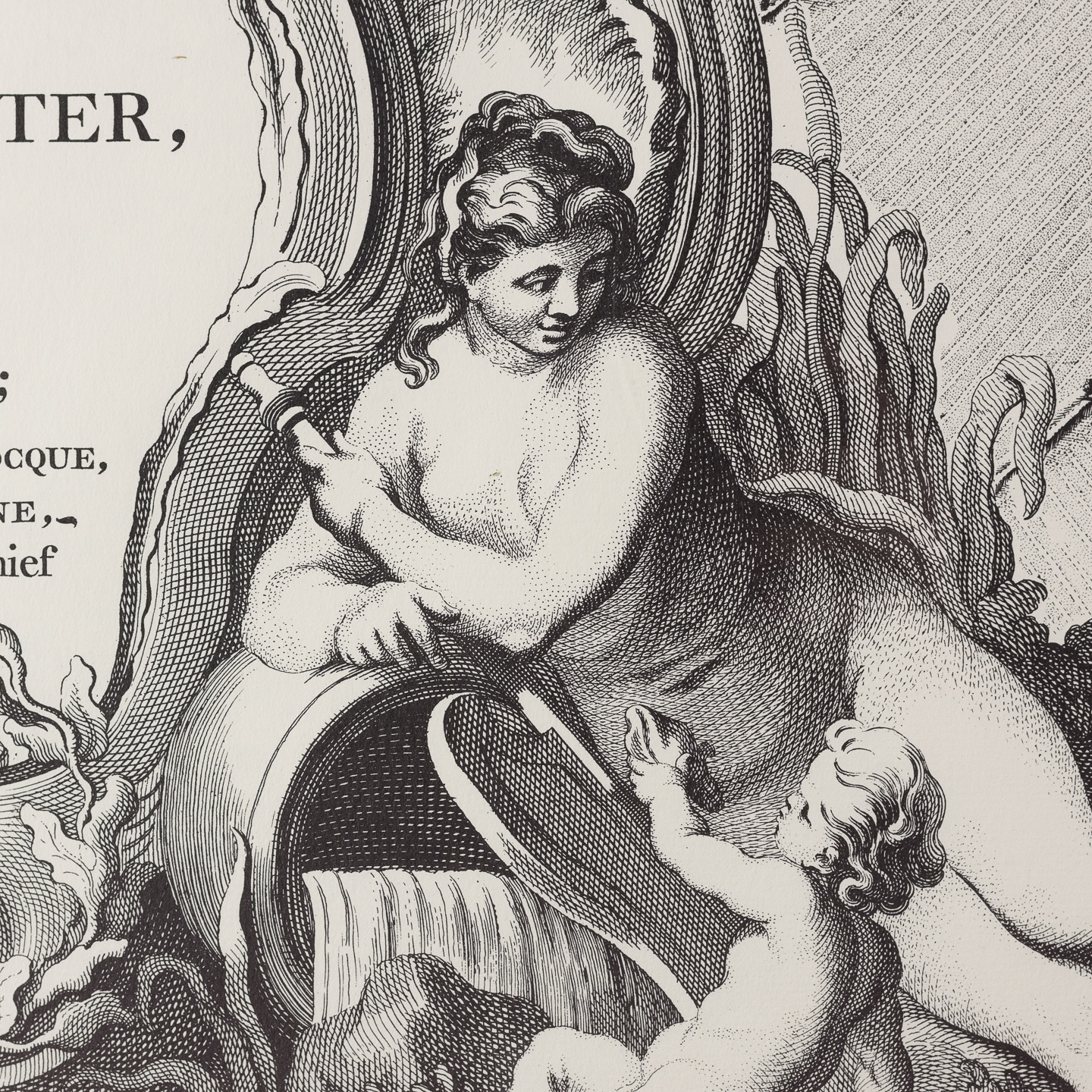
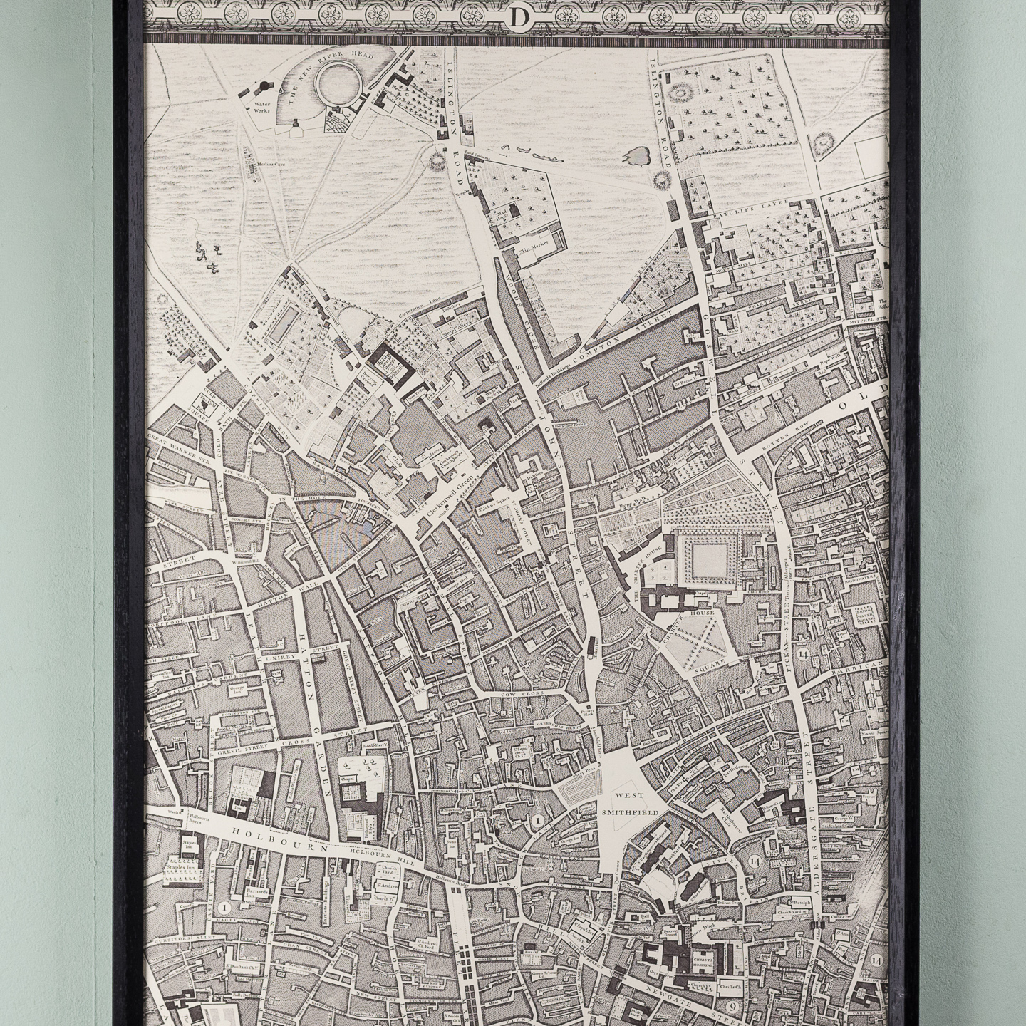
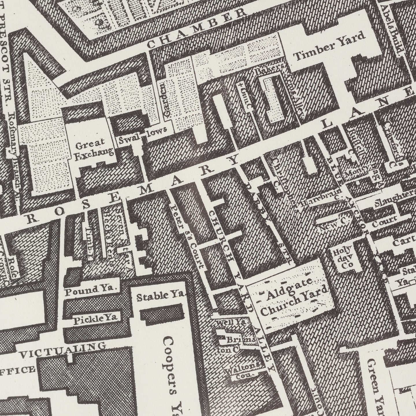
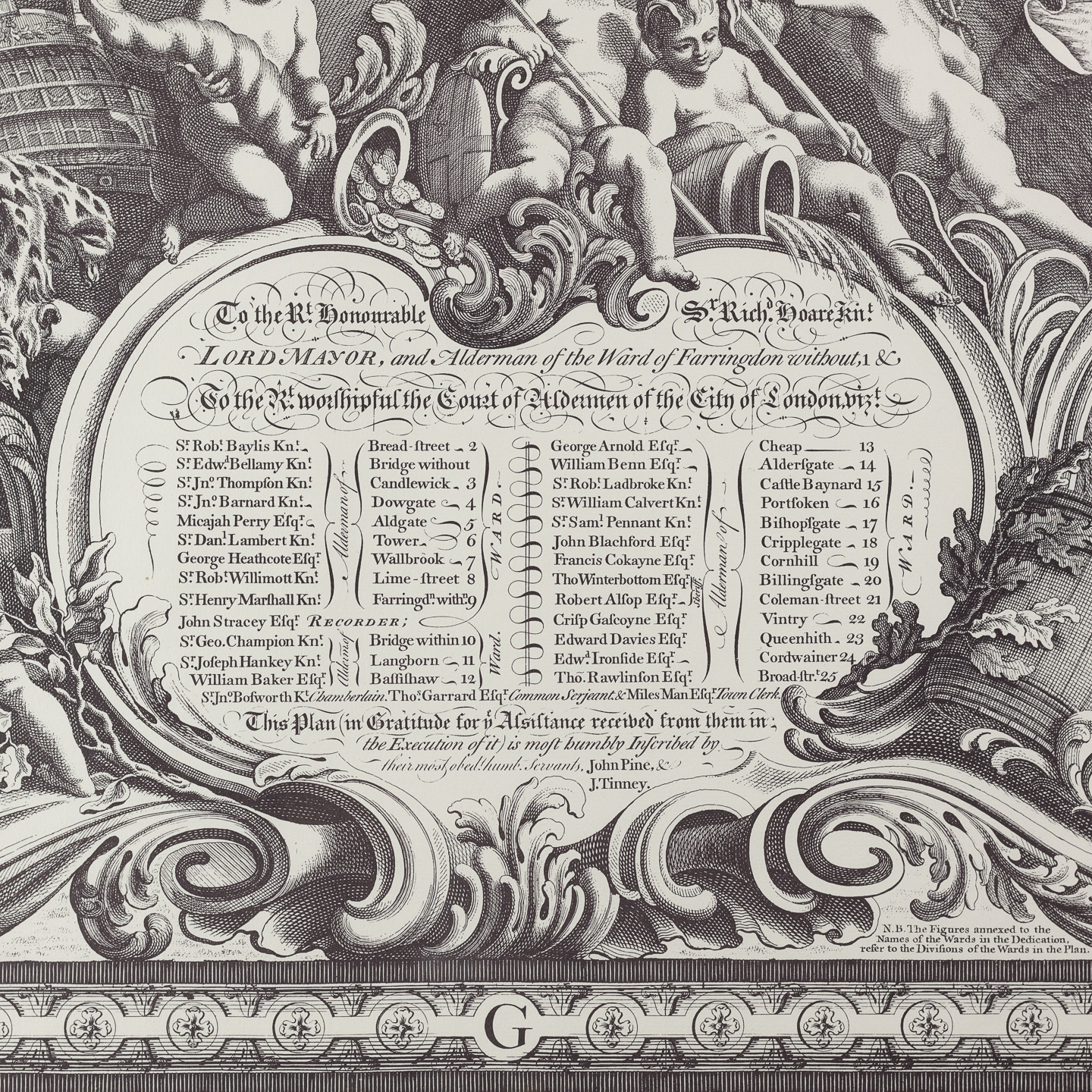
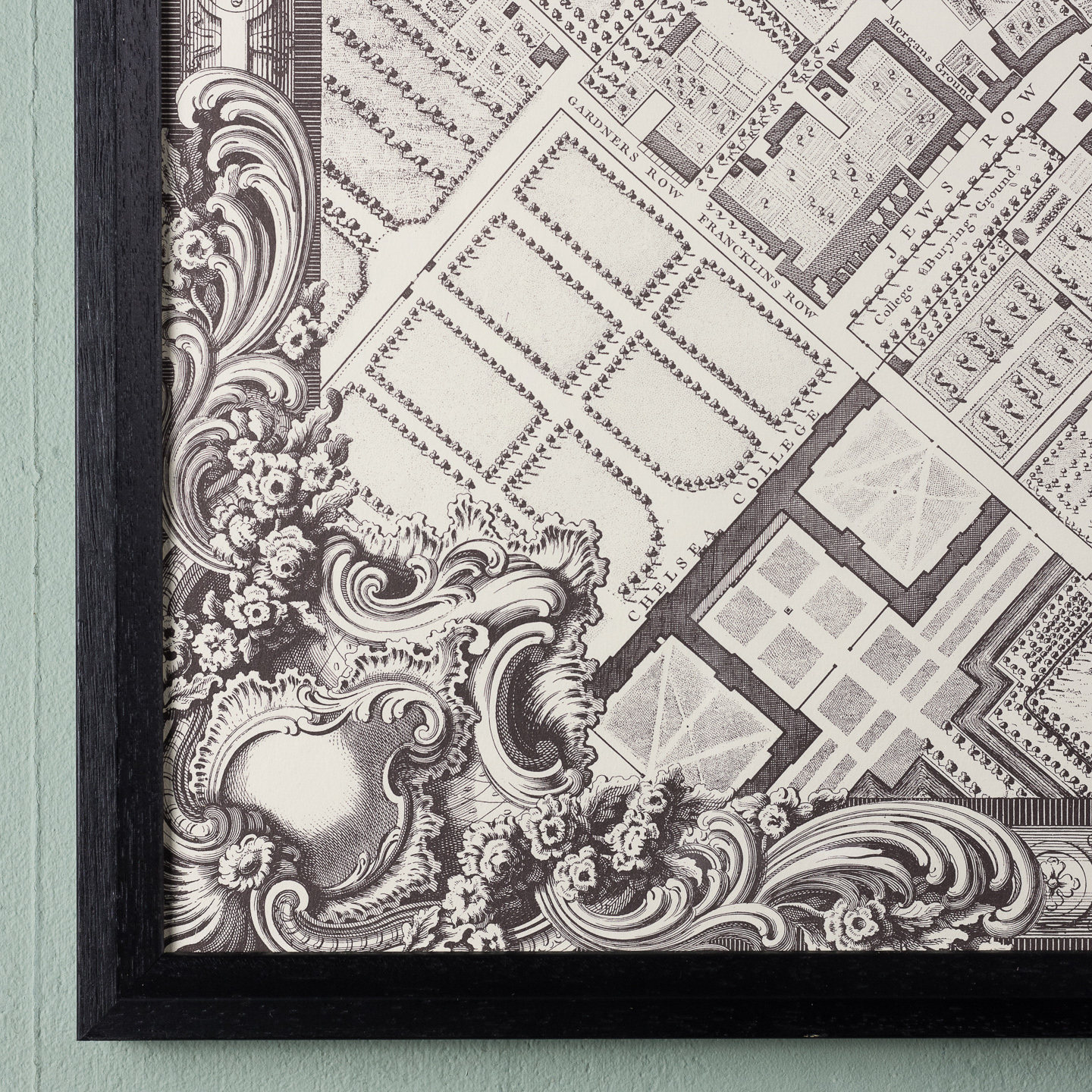
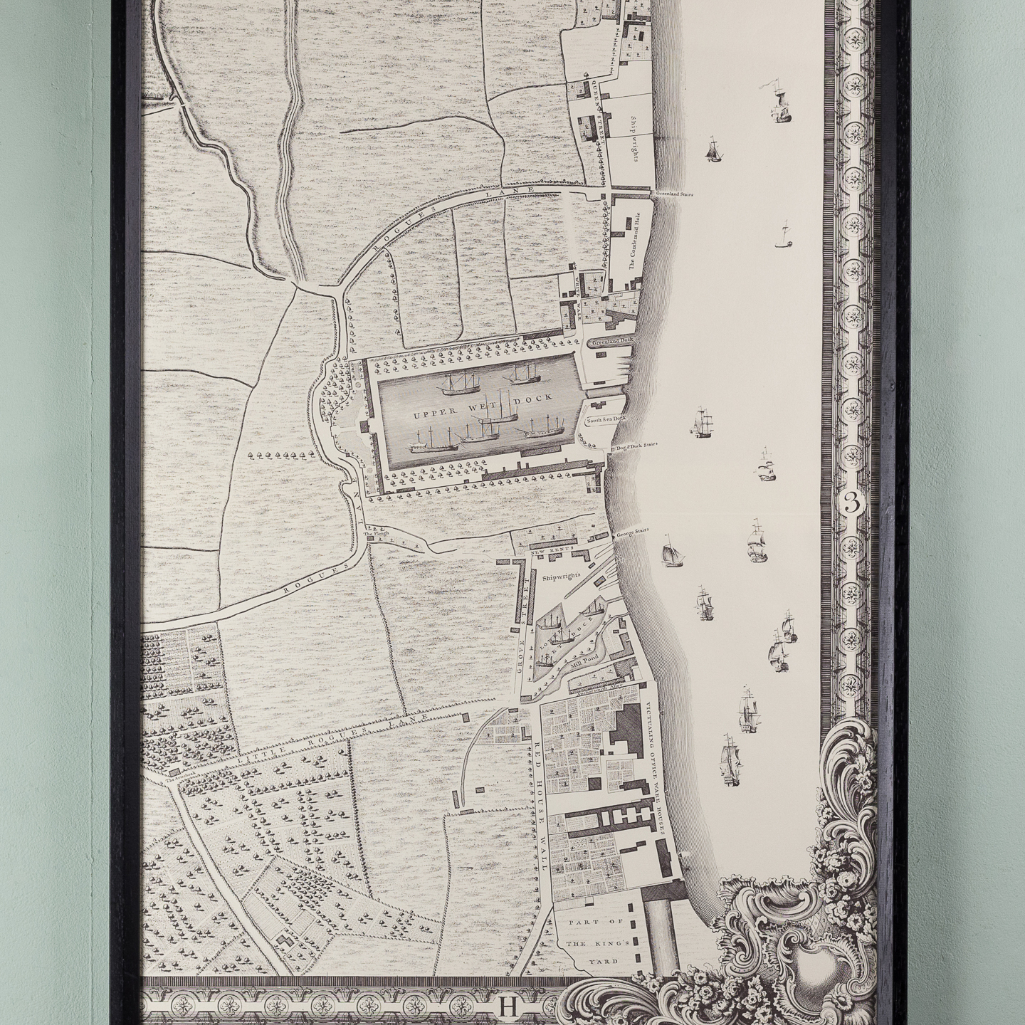
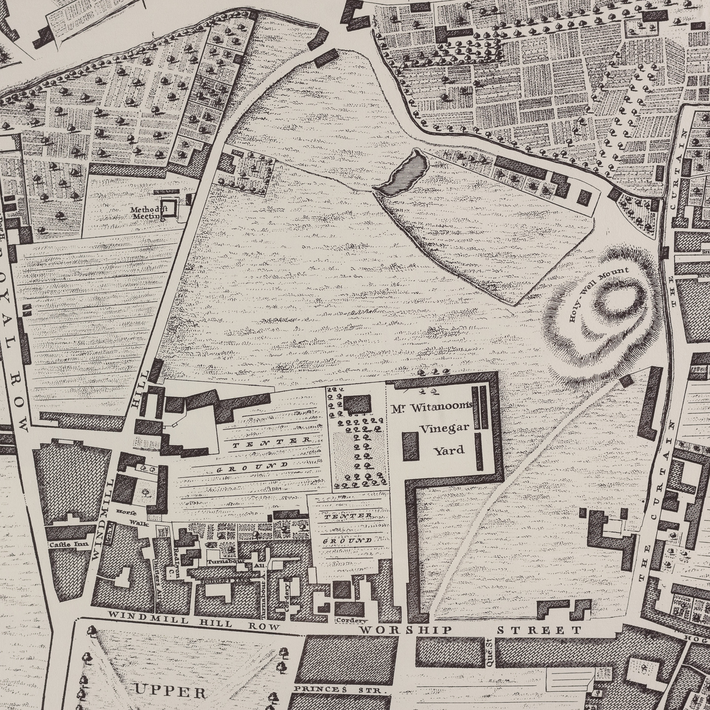
A plan of the cities of London and Westminster, and borough of Southwark,
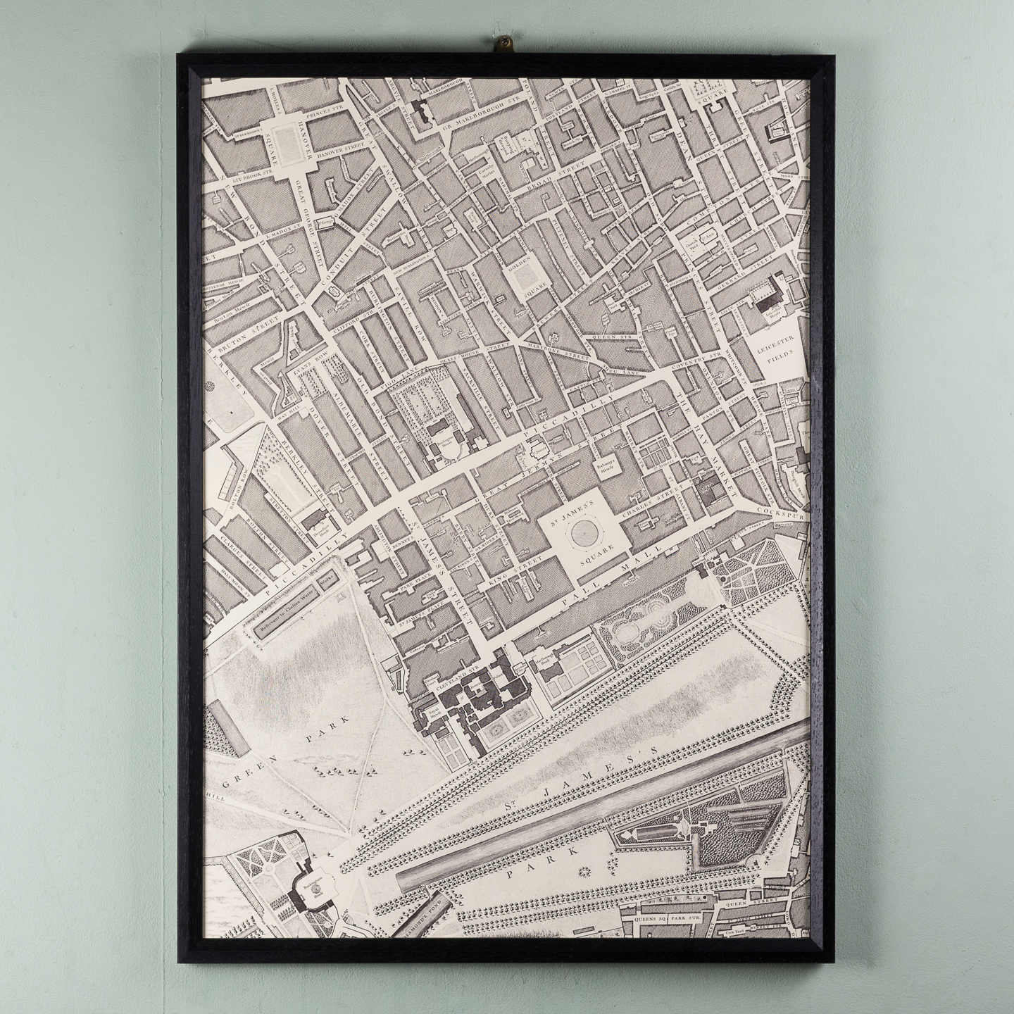
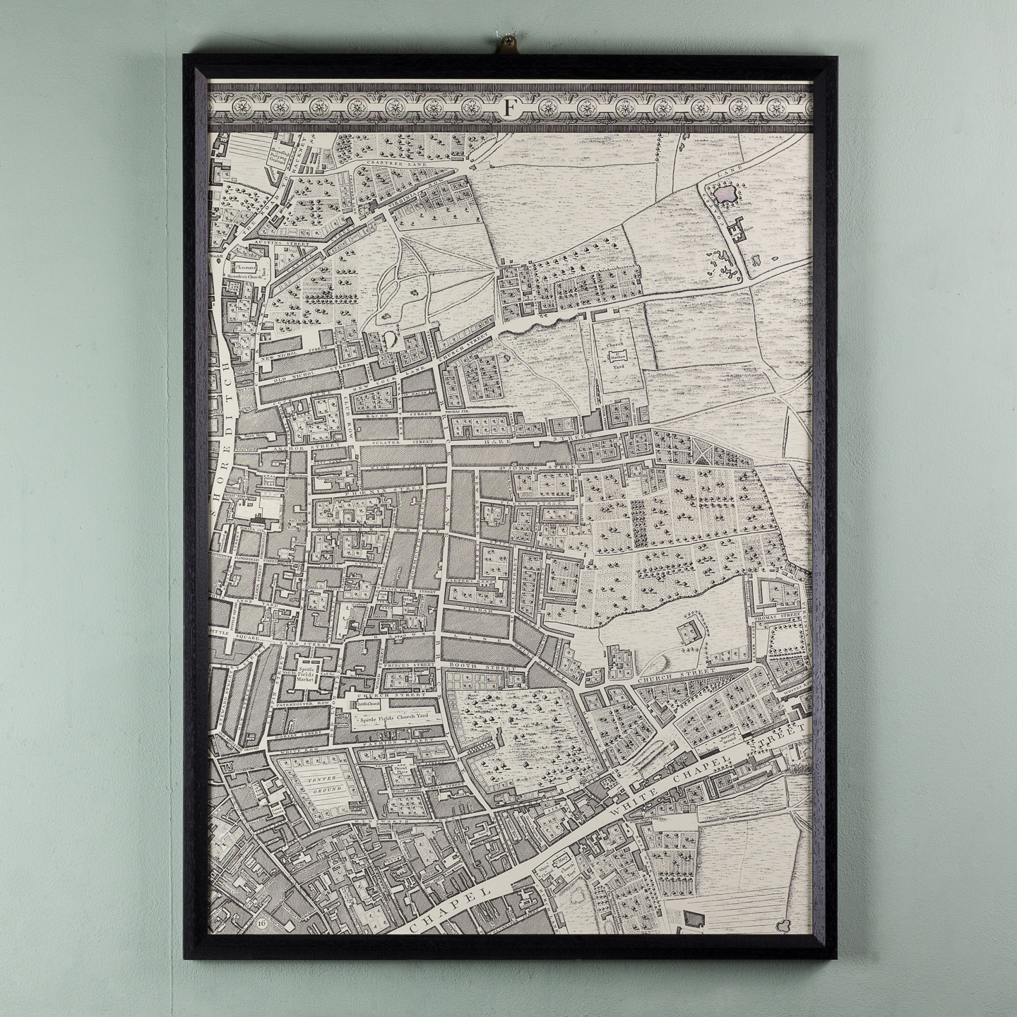
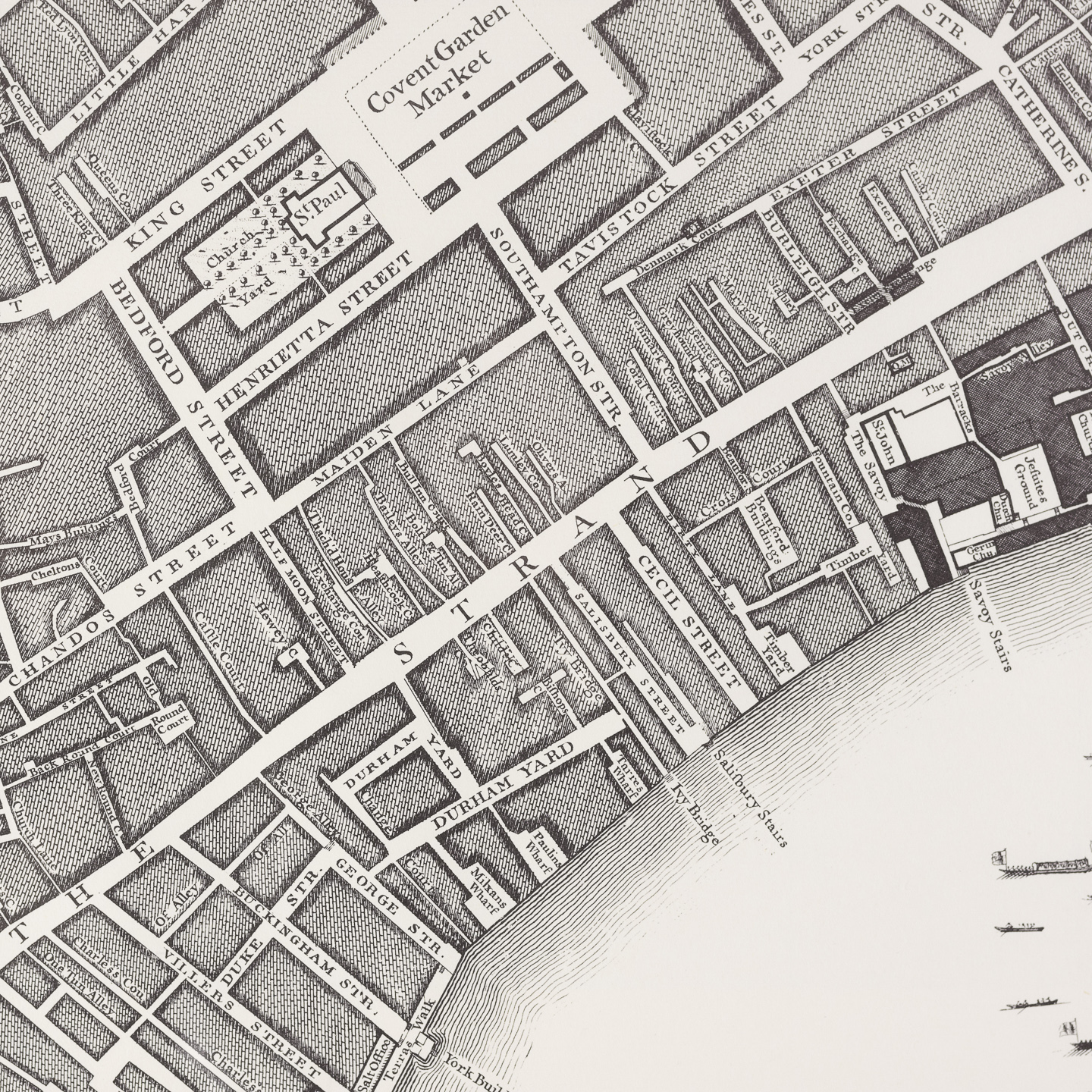
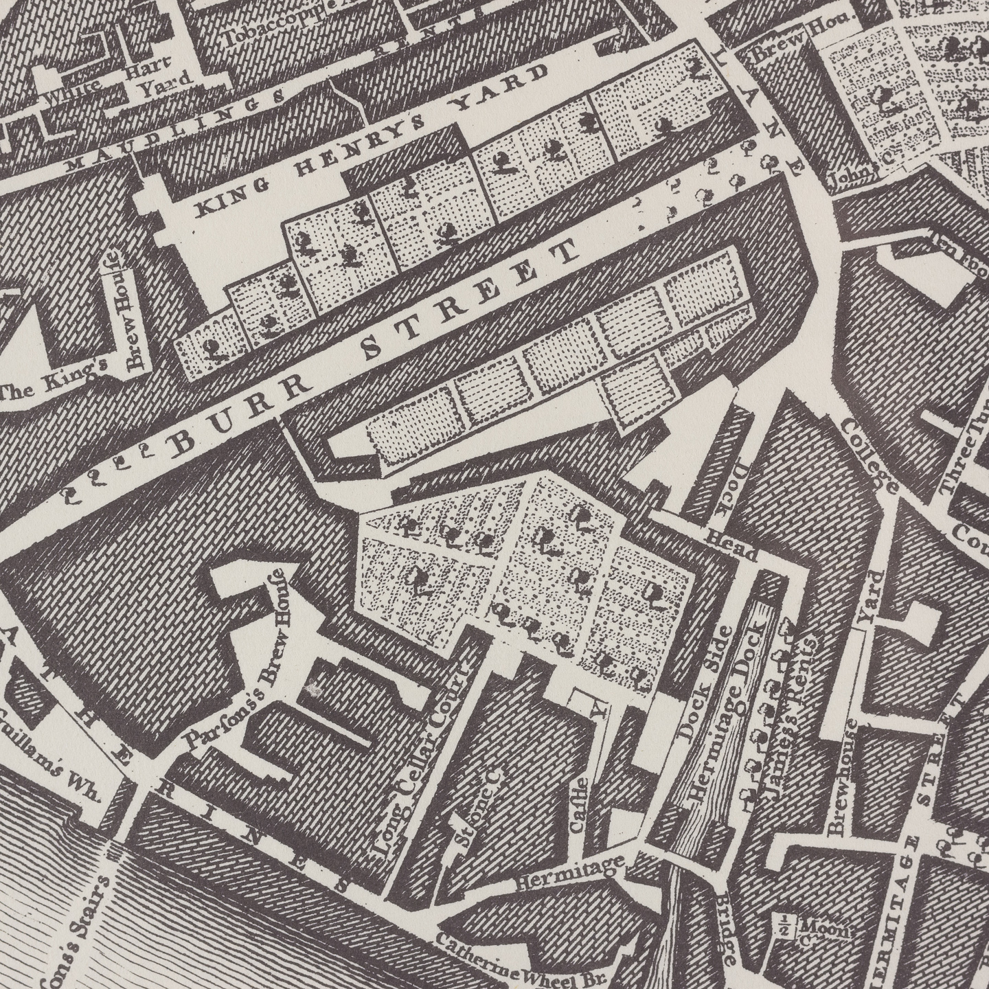
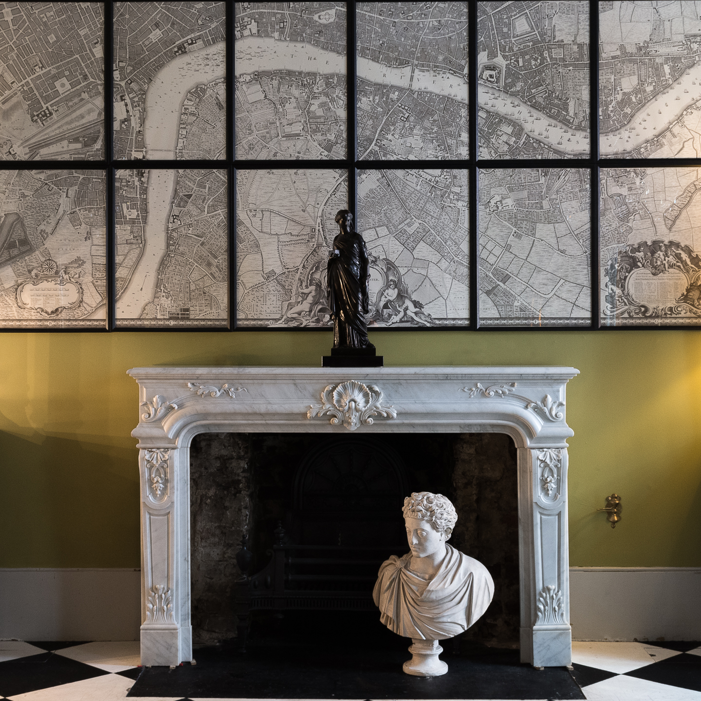
Full size Harry Margary reproduction of the celebrated 18th century map by John Rocque. 24 framed sheets.
The idea to do a new survey had come from the engraver George Vertue, but he and John Rocque could not come to an agreement. Rocque, began the painstaking project in 1737 in partnership with another engraver, John Pine, to survey the central area of London and Westminster, which eventually took 9 years.
The completed map measured 6 ½ feet by 13 and comprised of 24 separate sheets. It encompassed an area of 10,000 acres and drawn at a scale of 200ft to the 1inch.
£6,500 the set of 24 sheets
In stock
Due to the huge size of this map there is a low survival rate for the original examples so a full-size facsimile was produced in by Harry Margary, a Senior Civil Scientific Engineer for the Admiralty and self-professed inventor. He produced this full-size facsimile of the famous John Rocque map in 1971 and for this lithographically printed version Margary significantly cleaned up the image area and altered some of the edges so the maps would join.The original 18th century map never joined properly due to paper shrinkage in the printing process and only the constituent copper plates joined.
Interest in Rocque’s map has increased over the years and in 2014 an original complete example, sold at auction for £85,000

